PIX4Dmatic
PIX4Dmatic: High-Performance Desktop Photogrammetry For Large-Scale Mapping
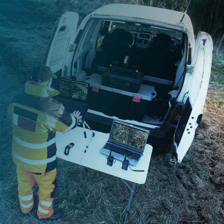
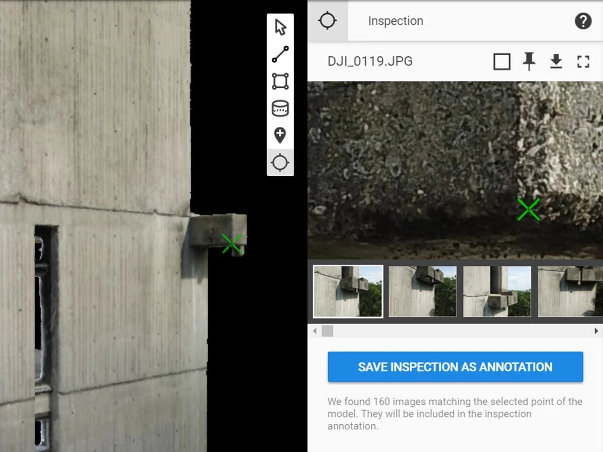
PIX4Dmatic is a next-generation desktop photogrammetry software built to process large-scale aerial and terrestrial RGB datasets with speed and precision. Designed for surveyors, engineers, construction teams, and mapping professionals, it transforms thousands of images into dense point clouds, 3D textured meshes, DSMs, and orthomosaics.
Operating locally on Windows and macOS, PIX4Dmatic leverages advanced algorithms and scalable processing architecture to handle complex geospatial projects efficiently while maintaining high positional accuracy and full coordinate system control.
Core Features And Large-Scale Processing Capabilities
- Large dataset scalability: process thousands of RGB images efficiently.
- High-performance algorithms: optimized for speed and dense reconstruction.
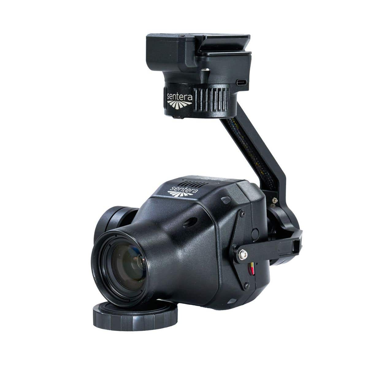
- Rtk and ppk support: integrate precise image geolocation workflows.
- Dense point clouds: generate detailed 3D reconstruction outputs.
- 3D textured mesh: create accurate surface representations.
- Dsm and orthomosaic outputs: produce survey-ready mapping deliverables.
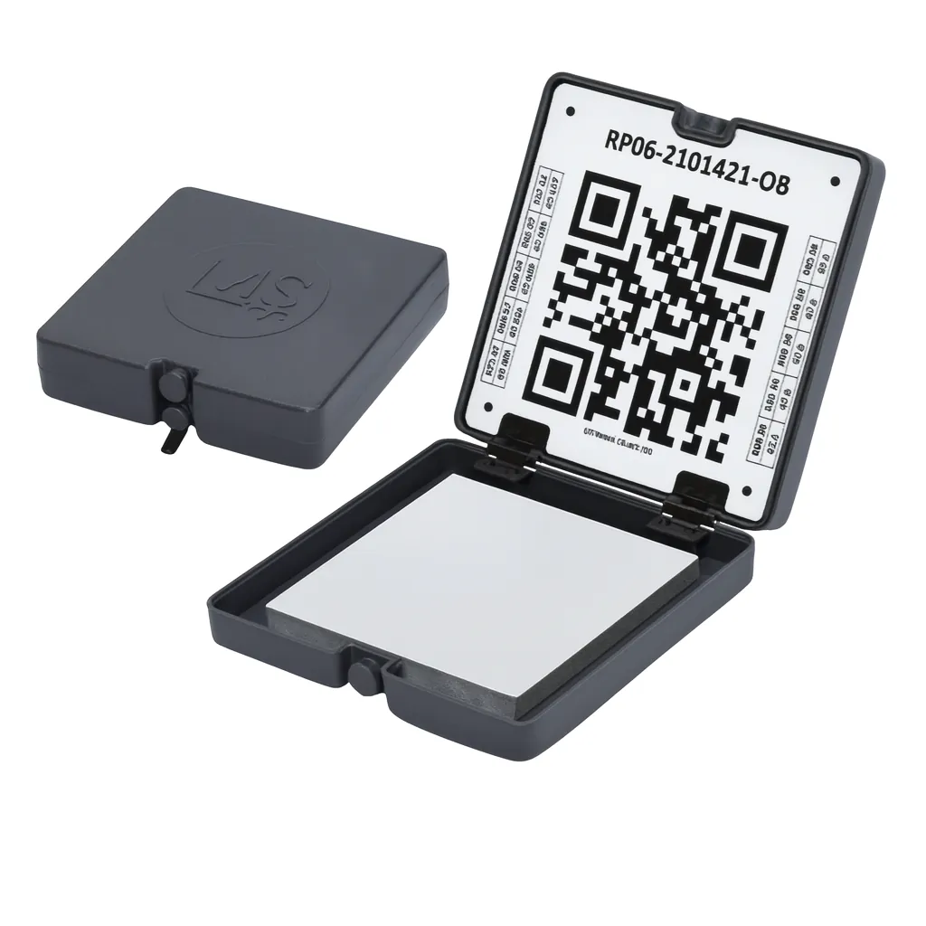
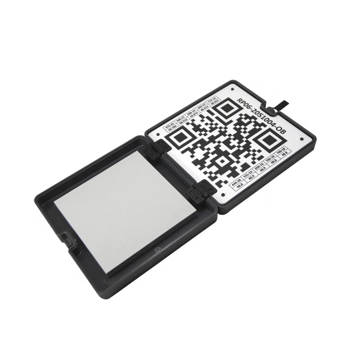
- Advanced coordinate systems: support horizontal grids and geoid models.
- Terrestrial image processing: handle highly oblique ground-level imagery.
- Pix4dcatch workflow: process RGB and LiDAR mobile capture datasets.
- Pix4dcloud integration: upload results for collaboration and sharing.
PIX4Dmatic is engineered for professionals working with extensive datasets and demanding accuracy requirements. By combining scalable processing with modern coordinate system libraries and RTK/PPK compatibility, it supports complex reconstruction projects without the limitations of simplified workflows. It delivers efficient, high-density outputs suitable for survey, infrastructure, and engineering applications.
At DSLRPros, we support comprehensive UAV lifecycle solutions that extend from data acquisition through advanced processing workflows. Purchasing PIX4Dmatic through DSLRPros ensures your large-scale photogrammetry operations are aligned with professional hardware, accuracy standards, and long-term technical guidance. Contact DSLRPros to integrate PIX4Dmatic into your mapping operations.
PIX4Dmatic: High-Performance Desktop Photogrammetry For Large-Scale Mapping
PIX4Dmatic is a next-generation desktop photogrammetry software built to process large-scale aerial and terrestrial RGB datasets with speed and precision. Designed for surveyors, engineers, construction teams, and mapping professionals, it transforms thousands of images into dense point clouds, 3D textured meshes, DSMs, and orthomosaics.
Operating locally on Windows and macOS, PIX4Dmatic leverages advanced algorithms and scalable processing architecture to handle complex geospatial projects efficiently while maintaining high positional accuracy and full coordinate system control.
Core Features And Large-Scale Processing Capabilities
- Large dataset scalability: process thousands of RGB images efficiently.
- High-performance algorithms: optimized for speed and dense reconstruction.
- Rtk and ppk support: integrate precise image geolocation workflows.
- Dense point clouds: generate detailed 3D reconstruction outputs.
- 3D textured mesh: create accurate surface representations.
- Dsm and orthomosaic outputs: produce survey-ready mapping deliverables.
- Advanced coordinate systems: support horizontal grids and geoid models.
- Terrestrial image processing: handle highly oblique ground-level imagery.
- Pix4dcatch workflow: process RGB and LiDAR mobile capture datasets.
- Pix4dcloud integration: upload results for collaboration and sharing.
PIX4Dmatic is engineered for professionals working with extensive datasets and demanding accuracy requirements. By combining scalable processing with modern coordinate system libraries and RTK/PPK compatibility, it supports complex reconstruction projects without the limitations of simplified workflows. It delivers efficient, high-density outputs suitable for survey, infrastructure, and engineering applications.
At DSLRPros, we support comprehensive UAV lifecycle solutions that extend from data acquisition through advanced processing workflows. Purchasing PIX4Dmatic through DSLRPros ensures your large-scale photogrammetry operations are aligned with professional hardware, accuracy standards, and long-term technical guidance. Contact DSLRPros to integrate PIX4Dmatic into your mapping operations.
Original: $399.00
-70%$399.00
$119.70Description
PIX4Dmatic: High-Performance Desktop Photogrammetry For Large-Scale Mapping
PIX4Dmatic is a next-generation desktop photogrammetry software built to process large-scale aerial and terrestrial RGB datasets with speed and precision. Designed for surveyors, engineers, construction teams, and mapping professionals, it transforms thousands of images into dense point clouds, 3D textured meshes, DSMs, and orthomosaics.
Operating locally on Windows and macOS, PIX4Dmatic leverages advanced algorithms and scalable processing architecture to handle complex geospatial projects efficiently while maintaining high positional accuracy and full coordinate system control.
Core Features And Large-Scale Processing Capabilities
- Large dataset scalability: process thousands of RGB images efficiently.
- High-performance algorithms: optimized for speed and dense reconstruction.
- Rtk and ppk support: integrate precise image geolocation workflows.
- Dense point clouds: generate detailed 3D reconstruction outputs.
- 3D textured mesh: create accurate surface representations.
- Dsm and orthomosaic outputs: produce survey-ready mapping deliverables.
- Advanced coordinate systems: support horizontal grids and geoid models.
- Terrestrial image processing: handle highly oblique ground-level imagery.
- Pix4dcatch workflow: process RGB and LiDAR mobile capture datasets.
- Pix4dcloud integration: upload results for collaboration and sharing.
PIX4Dmatic is engineered for professionals working with extensive datasets and demanding accuracy requirements. By combining scalable processing with modern coordinate system libraries and RTK/PPK compatibility, it supports complex reconstruction projects without the limitations of simplified workflows. It delivers efficient, high-density outputs suitable for survey, infrastructure, and engineering applications.
At DSLRPros, we support comprehensive UAV lifecycle solutions that extend from data acquisition through advanced processing workflows. Purchasing PIX4Dmatic through DSLRPros ensures your large-scale photogrammetry operations are aligned with professional hardware, accuracy standards, and long-term technical guidance. Contact DSLRPros to integrate PIX4Dmatic into your mapping operations.